Weather Warnings Archive: Sunday 14 Dec 2025 10:21 GMT - UK


00:00-06:00

06:00-12:00

12:00-18:00

18:00-24:00


Severe Weather Warnings: Rain
issued by the Metoffice at
10:21, 14.12.2025
valid from
18:00, 13.12.2025
until
03:00, 15.12.2025
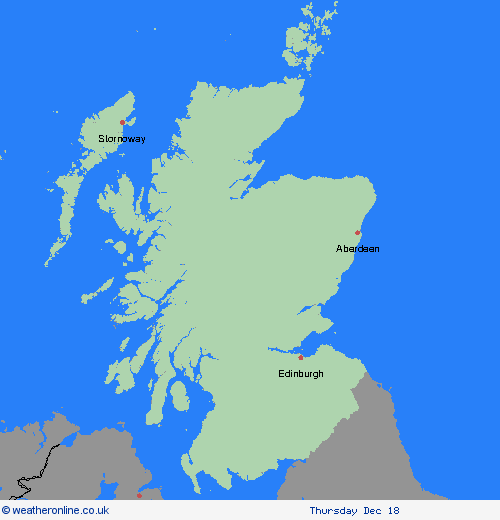
Region: SW Scotland, Lothian Borders
After a short respite, further outbreaks of rain will develop across the area during Sunday, clearing in the early hours of Monday. The rain will be persistent and heavy at times with additional accumulations of 20-30 mm quite widely, with some higher ground receiving over 50mm. This will bring weekend accumulations to between 80 and 100mm in a few spots. Strong southwesterly winds are also expected. What Should I Do? Check if your property could be at risk of flooding. If so, consider preparing a flood plan and an emergency flood kit. Give yourself the best chance of avoiding delays by checking road conditions if driving, or bus and train timetables, amending your travel plans if necessary. People cope better with power cuts when they have prepared for them in advance. It’s easy to do; consider gathering torches and batteries, a mobile phone power pack and other essential items. Be prepared for weather warnings to change quickly: when a weather warning is issued, the Met Office recommends staying up to date with the weather forecast in your area.
Chief ForecasterHeavy and persistent rain may lead to flooding and travel disruption
The public is advised to take extra care, further information and advice can be found here: http://www.metoffice.gov.uk/weather/uk/links.html


14.12.2025