Weather Warnings Archive: Saturday 13 Dec 2025 10:34 GMT - UK


00:00-06:00

06:00-12:00

12:00-18:00

18:00-24:00


Severe Weather Warnings: Rain
issued by the Metoffice at
10:34, 13.12.2025
valid from
12:00, 13.12.2025
until
23:59, 14.12.2025
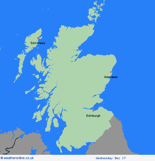
Region: SW Scotland, Lothian Borders
Rain developing across western Scotland will become persistent and heavy at times through the rest of the day and into Sunday, before easing from the northwest during Sunday. Most areas within the warning will see 30-50 mm of rain, whilst some of the high ground of Skye and western Scotland could see close to 100 mm. Strong and gusty southwesterly winds will accompany the rain. What Should I Do? Check if your property could be at risk of flooding. If so, consider preparing a flood plan and an emergency flood kit. Give yourself the best chance of avoiding delays by checking road conditions if driving, or bus and train timetables, amending your travel plans if necessary. People cope better with power cuts when they have prepared for them in advance. It’s easy to do; consider gathering torches and batteries, a mobile phone power pack and other essential items. Be prepared for weather warnings to change quickly: when a weather warning is issued, the Met Office recommends staying up to date with the weather forecast in your area.
Chief ForecasterPeriods of heavy rain may lead to travel disruption and some flooding
The public is advised to take extra care, further information and advice can be found here: http://www.metoffice.gov.uk/weather/uk/links.html
Severe Weather Warnings: Rain
issued by the Metoffice at
10:34, 13.12.2025
valid from
18:00, 13.12.2025
until
09:00, 15.12.2025
Region: SW Scotland, Lothian Borders
Outbreaks of rain will spread in from the northwest during Saturday afternoon and last through Sunday before finally clearing away on Monday morning. The rain will be persistent and heavy at times with accumulations 40-60 mm developing quite widely. Across high ground totals during this event could exceed 100 mm. Strong southwesterly winds are also possible at times. What Should I Do? Check if your property could be at risk of flooding. If so, consider preparing a flood plan and an emergency flood kit. Give yourself the best chance of avoiding delays by checking road conditions if driving, or bus and train timetables, amending your travel plans if necessary. People cope better with power cuts when they have prepared for them in advance. It’s easy to do; consider gathering torches and batteries, a mobile phone power pack and other essential items. Be prepared for weather warnings to change quickly: when a weather warning is issued, the Met Office recommends staying up to date with the weather forecast in your area.
Chief ForecasterHeavy and persistent rain may lead to flooding and travel disruption
The public is advised to take extra care, further information and advice can be found here: http://www.metoffice.gov.uk/weather/uk/links.html
Severe Weather Warnings: Rain
issued by the Metoffice at
10:34, 13.12.2025
valid from
00:00, 14.12.2025
until
23:59, 14.12.2025
Region: SW Scotland, Lothian Borders
Persistent rain across parts of southern and southwestern Scotland will be particularly heavy at times during Sunday, before easing from the north by the end of the day. Much of the warning area will see 50-70 mm of rain, whilst parts of the Galloway Hills and other areas of the Southern Uplands could see 110-130 mm of rain. Strong and gusty southwesterly winds will likely exacerbate conditions. What Should I Do? Keep yourself and others safe; prepare to avoid travelling by road during potentially dangerous road conditions. If you must travel, ensure you watch for possible danger and drive cautiously. It is not safe to drive, walk or swim through floodwater, avoid it where possible and if you are affected by fast flowing or deep-water call 999, and wait for help. Preparing a flood kit could save you from loss or damage due to flooding to your home or business. In your flood kit have: insurance and any other important documents; a torch & spare batteries; a first aid kit, prescription medicines and supplies for looking after your family members or pets; and warm, waterproof clothes, blankets, food and water. Consider checking on vulnerable people that you know including older people, those with underlying conditions and those who live alone; they may need support with food and medical supplies. If you are worried about your health or that of somebody you know, ring NHS 111. Stay up to date with the weather forecast for your area and follow advice from emergency services and local authorities.
Chief ForecasterVery heavy and persistent rain bringing some flooding and disruption to transport and infrastructure.
The public is advised to take extra care, further information and advice can be found here: http://www.metoffice.gov.uk/weather/uk/links.html


13.12.2025