Weather Warnings Archive: Sunday 14 Dec 2025 13:57 GMT - UK


00:00-06:00

06:00-12:00

12:00-18:00

18:00-24:00


Severe Weather Warnings: Rain
issued by the Metoffice at
13:57, 14.12.2025
valid from
00:00, 15.12.2025
until
23:59, 15.12.2025
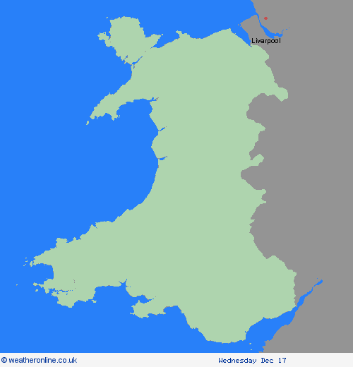
Region: Wales
A band of rain is likely to become slow-moving across parts of south and southwest Wales during Monday. Whilst there is still some uncertainty in how quickly this rain slowly moves east across the region, 30-50 mm of rain could fall quite widely with some places seeing 75-100 mm. Given the recent wet weather and saturated ground, the likelihood of impacts is higher. What Should I Do? Check if your property could be at risk of flooding. If so, consider preparing a flood plan and an emergency flood kit. Give yourself the best chance of avoiding delays by checking road conditions if driving, or bus and train timetables, amending your travel plans if necessary. People cope better with power cuts when they have prepared for them in advance. It’s easy to do; consider gathering torches and batteries, a mobile phone power pack and other essential items. Be prepared for weather warnings to change quickly: when a weather warning is issued, the Met Office recommends staying up to date with the weather forecast in your area.
Chief ForecasterHeavy rain on Monday may lead to travel disruption and flooding
The public is advised to take extra care, further information and advice can be found here: http://www.metoffice.gov.uk/weather/uk/links.html
Severe Weather Warnings: Rain
issued by the Metoffice at
13:57, 14.12.2025
valid from
18:00, 13.12.2025
until
23:59, 15.12.2025
Region: Wales
Rain will continue through Sunday before eventually clearing away later on Monday. Rain will be heavy at times with 40-60 mm of rain falling quite widely across the warning area by the end of Monday and over 100 mm across some high ground. Totals will be highest across Cumbria where over 200 mm could accumulate over 48 hours where a separate amber warning has been issued. Strong southwesterly winds are also likely at times. What Should I Do? Check if your property could be at risk of flooding. If so, consider preparing a flood plan and an emergency flood kit. Give yourself the best chance of avoiding delays by checking road conditions if driving, or bus and train timetables, amending your travel plans if necessary. People cope better with power cuts when they have prepared for them in advance. It’s easy to do; consider gathering torches and batteries, a mobile phone power pack and other essential items. Be prepared for weather warnings to change quickly: when a weather warning is issued, the Met Office recommends staying up to date with the weather forecast in your area.
Chief ForecasterPeriods of heavy rain may lead to travel disruption and some flooding
The public is advised to take extra care, further information and advice can be found here: http://www.metoffice.gov.uk/weather/uk/links.html
Severe Weather Warnings: Rain
issued by the Metoffice at
13:57, 14.12.2025
valid from
18:00, 14.12.2025
until
15:00, 15.12.2025
Region: Wales
Outbreaks of rain will move into the warning area during Sunday afternoon and clear away on Monday afternoon. The rain will be heavy and persistent at times with accumulations of 30-40 mm expected to develop widely. Over 100 mm could accumulate across higher ground. What Should I Do? Check if your property could be at risk of flooding. If so, consider preparing a flood plan and an emergency flood kit. Give yourself the best chance of avoiding delays by checking road conditions if driving, or bus and train timetables, amending your travel plans if necessary. People cope better with power cuts when they have prepared for them in advance. It’s easy to do; consider gathering torches and batteries, a mobile phone power pack and other essential items. Be prepared for weather warnings to change quickly: when a weather warning is issued, the Met Office recommends staying up to date with the weather forecast in your area.
Chief ForecasterPeriods of heavy rain may lead to travel disruption and some flooding
The public is advised to take extra care, further information and advice can be found here: http://www.metoffice.gov.uk/weather/uk/links.html


14.12.2025