Weather Warnings Archive: Monday 15 Dec 2025 21:00 GMT - UK


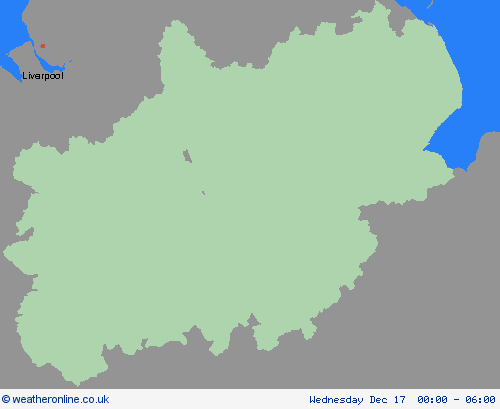
00:00-06:00

06:00-12:00

12:00-18:00

18:00-24:00


Severe Weather Warnings: Rain
issued by the Metoffice at
21:00, 15.12.2025
valid from
10:00, 17.12.2025
until
23:59, 17.12.2025
Region: West Midlands
A period of rain, heavy at times, especially over high ground, will move east across this region during Wednesday. Coming off the back of recent very wet weather, some travel disruption and flooding is possible. 15-25 mm of rain is likely to accumulate quite widely across the warning area, but 40-60 mm is possible over the high ground of Dartmoor and the hills of south Wales. Rain should clear to the east during the latter part of Wednesday into the early hours of Thursday. What Should I Do? Check if your property could be at risk of flooding. If so, consider preparing a flood plan and an emergency flood kit. Give yourself the best chance of avoiding delays by checking road conditions if driving, or bus and train timetables, amending your travel plans if necessary. People cope better with power cuts when they have prepared for them in advance. It’s easy to do; consider gathering torches and batteries, a mobile phone power pack and other essential items. Be prepared for weather warnings to change quickly: when a weather warning is issued, the Met Office recommends staying up to date with the weather forecast in your area.
Chief ForecasterHeavy rain could lead to some travel disruption and possible flooding.
The public is advised to take extra care, further information and advice can be found here: http://www.metoffice.gov.uk/weather/uk/links.html


15.12.2025